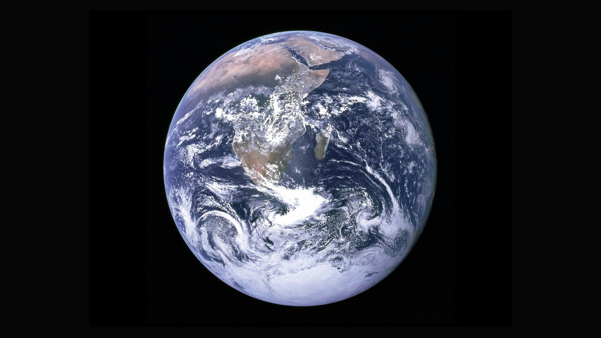
Google Earth AI: Supercharging Satellite Vision and Disaster Response
Google is expanding its planetary brain. The company just announced a major update to Google Earth AI, widening access and boosting its ability to help cities, non-profits, and enterprises monitor the environment, respond to disasters, and, ideally, stay one step ahead of chaos.

The update includes a new Geospatial Reasoning framework, which links different Earth AI models so analysts can identify vulnerable communities and at-risk infrastructure in one go.
It’s like giving satellite imagery a college degree. According to Google Research VP Yossi Matias, “Our geospatial AI models help organizations like World Vision get drinking water and food to communities when they need it most.”
One of the biggest wins is scale. Google’s flood forecasting system now covers over two billion people.
That means a family living near the Mekong River or the Brahmaputra Delta might get a warning days before a major flood hits. It’s the kind of predictive capability that could save lives on a massive scale—if governments and aid groups actually act on it.
Another major move is integration. Google Earth AI is being folded into Google Cloud, letting organizations use their own data with Earth AI’s models.
Trusted testers like the World Health Organization, GiveDirectly, and satellite companies such as Planet Labs are already using it to forecast cholera outbreaks, monitor deforestation, and assess disaster damage.
It’s Google’s way of taking what used to be the domain of elite geospatial analysts and opening it up—slightly—to the rest of the world.
The new Geospatial Reasoning tool is the standout. It doesn’t just crunch images; it connects them. An analyst can now combine data about rainfall, infrastructure, and population in one analysis.
Imagine overlaying satellite imagery of flood zones with census data and energy grids, then getting a ranked list of areas most at risk. It’s part of Google’s broader goal to make AI “reason about the physical world as fluently as large language models reason about the digital one.”
According to TechCrunch, this marks a step toward “AI that doesn’t just see the world but understands it.” That’s an ambitious claim. The real question is whether the AI’s insights will reach decision-makers fast enough to matter.
Critics point out that scaling geospatial AI often runs into human bottlenecks. As GeoAwesome notes, many governments and NGOs don’t yet have the infrastructure—or the expertise—to turn Earth AI’s forecasts into action. It’s one thing to identify a flood risk; it’s another to evacuate thousands of people before the waters rise.
Still, Google’s push is part of a clear trend. The company is using AI to bridge the gap between data and decision, between “we saw it coming” and “we did something about it.” The tools are becoming faster, smarter, and more interconnected, giving a glimpse of how geospatial intelligence could soon feel as seamless as using Gmail.
It’s easy to be cynical about corporate altruism, but the potential here is real. If Google Earth AI works as advertised, it could become one of the most important tools in the global climate and disaster-response toolkit.
Related reading
- NVIDIA unveils Rubin platform as blueprint for next-generation DGX SuperPOD systems
- Magna AI joins NVIDIA Inception programme
- Google rolls out Gemini 3 Flash and expands AI features across apps in December update
It’s a step toward a planet that can literally look out for itself—by teaching machines to read the signs before we do.
The technology may be getting smarter, but the real test remains simple. Will the people with the power to act actually listen when Earth AI raises the alarm?


