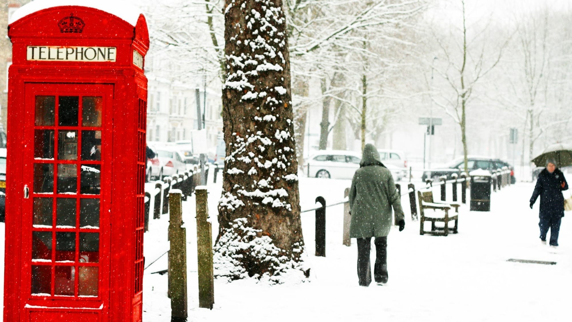
Something strange is happening high above the Arctic. A major wobble in the atmosphere’s icy crown is brewing, and meteorologists are watching closely. The Polar Vortex is weakening earlier than expected, and that shift could send pulses of cold Arctic air sweeping into Europe. For the UK, it raises the question many of us quietly ask every winter: are we about to be caught in the firing line?
What the Polar Vortex Actually Is
The Polar Vortex is a large, persistent circulation of extremely cold air that forms in the stratosphere above the North Pole each winter. Think of it as a spinning reservoir of frigid air, usually kept stable by powerful winds that whirl around it in a tight ring. When it is strong and orderly, cold air stays locked over the Arctic.
The trouble begins when that structure weakens. A phenomenon called Sudden Stratospheric Warming can disrupt or even split the vortex, allowing displaced cold air to escape southwards into mid-latitude regions, including Europe. This is the atmospheric trigger behind some of the most memorable UK cold snaps of recent decades.
When the Polar Vortex Has Hit the UK Before
Britain has felt the sting of a disrupted Polar Vortex several times:
- Winter 2018: The “Beast from the East” arrived after a major vortex collapse, driving Siberian air across Europe and causing widespread snowfall, transport shutdowns and unusually low temperatures.
- Winter 2010: A combination of a weakened vortex and blocking high pressure helped create one of the coldest Decembers on record with persistent snow cover.
- Winter 2009: A smaller disruption contributed to a prolonged cold spell that delivered heavy snow in February.
These episodes share a common theme: once the vortex falters, the jet stream can buckle, forcing cold Arctic air southwards and allowing blocking high pressure systems to linger near Greenland or Scandinavia. That pattern often leaves the UK exposed.
Why Meteorologists Are Paying Close Attention Now
This year’s early signs of a weakening vortex are unusual. Disruptions typically occur later in winter, yet the stratosphere is already warming and destabilising. Early-season events can set the stage for colder conditions, particularly in late November through to January, although the UK’s exact weather response depends on how the jet stream behaves and whether blocking patterns form.
At this stage, the signals point to an elevated probability of colder periods, increased frost risk and the potential for snow, especially in Scotland and upland regions. This is not a guaranteed repeat of 2010 or 2018, but it is enough to put forecasters on alert.
Is This Becoming a Recurring Pattern for the UK?
There is growing debate within climate science about whether disrupted Polar Vortex events are becoming more common. Several theories link increased Arctic warming and reduced sea ice to greater instability in the vortex. A warmer Arctic reduces the temperature contrast between the pole and lower latitudes, which may weaken the atmospheric winds that keep the vortex stable.
Some studies suggest a rise in vortex disturbances since the early 2000s. If that trend continues, Britain could experience more winters with heightened cold-spell risk, even as average global temperatures rise. In other words, climate change does not mean fewer cold snaps. It may simply make winter weather more volatile.
What to Expect Going Forward
For the UK, the coming weeks will be shaped by how the jet stream responds to the brewing stratospheric upheaval. If high pressure establishes itself over Greenland or Scandinavia, colder air may be steered directly towards Britain. If not, the potential cold may stay bottled up elsewhere.
Related reading
Either way, this unfolding Arctic drama is a reminder that the Polar Vortex is not a distant scientific curiosity. It is a real, powerful driver of UK winter weather. And with early signals flashing this year, the next chapter could be written sooner rather than later.
If you would like, I can also prepare a model-based outlook for the rest of winter with likely timing windows for any cold spells.


